Global Fishing Watch Map
Analysis of AIS and other vessel data, satellite observations, machine learning and publicly accessible interactive maps.
Profiled on 4PLANET Action: what they do for nature, and how you can help them
Global Fishing Watch maps fishing activity across the world's ocean, using vessel tracking data, satellite images and machine learning.
Its map is open to anyone, so governments, scientists and the public can see where boats fish, including where they should not.
Profiled, not a partner. 4PLANET has no agreement with Global Fishing Watch and receives no payment. We profile organisations whose work for nature we think people should know about.
As described by Global Fishing Watch and the sources linked. Results are reported by the source; 4PLANET has not measured them.
Analysis of AIS and other vessel data, satellite observations, machine learning and publicly accessible interactive maps.
Global Fishing Watch contributes to the work on these pressures and solutions. No single organisation solves them alone.
Follow their work, share it, or support them directly on their own website.
Is this your organisation? Verified organisations will be able to edit their own page. Until then, tell us about a mistake through 4planet.org.
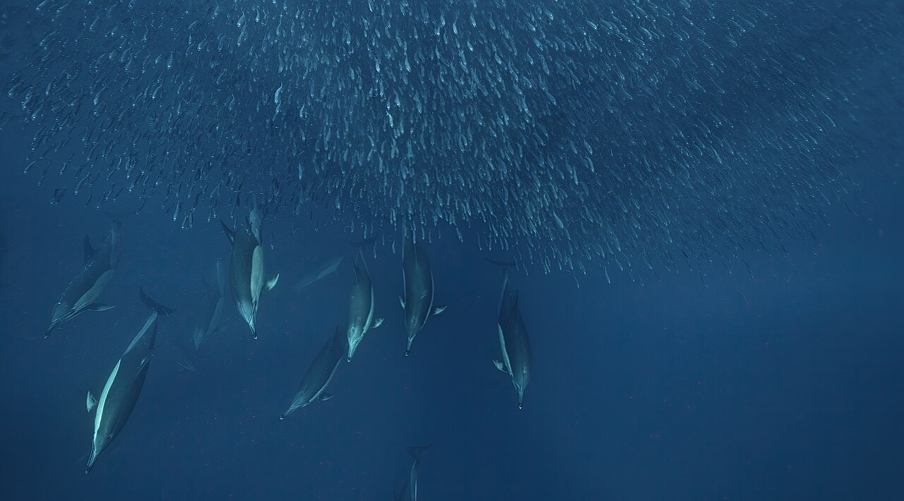
Dolphins hunting in a dense school of sardines: Stanislav Stelmakhovich, CC0. The photo shows the kind of place this work is about, not necessarily Global Fishing Watch's own sites.
Profiled, not a partner: 4PLANET has no agreement with Global Fishing Watch and receives no payment. Projects and results are as reported by the sources named; 4PLANET has not measured them independently. Actors rarely solve a problem alone; they contribute.
Checked 2026-11-21.
